Author: Justin Colson (Institute of Historical Research, University of London, UK)
Abstract:
The opening decades of the twenty-first century have seen an explosion of spatial approaches to urban history, which have allowed historians to combine analyses to gain new cultural and experiential perspectives on historical cities. New tools and resources have introduced both ways to use historical maps as sources in new light, and new ways to create maps as part of historical research. London has often been at the heart of many of these developments. These approaches have unlocked new ways of understanding the historical city through historical map sources, as well as new ways of conceiving of other kinds of sources through a spatial lens.
Published on London Journal, Issue 1, 2025.
Open access and free to download: https://doi.org/10.1080/03058034.2024.2431774
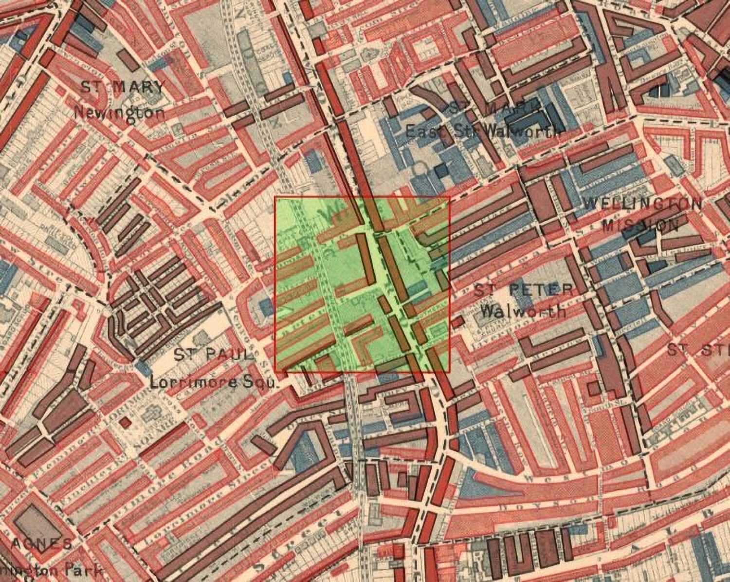
FIGURE 3 Screenshot of in-progress vectorisation on the Layers of London map tracer tool. The bolder shapes adjoining the main road have already been traced.