Author: Briony McDonagh, Hannah Worthen, Stewart Mottram
Highlights
•The paper explores how early modern people responded to extraordinary flood events.
•It reconstructs the causes, extent and impacts of a major Yorkshire flood of 1646/47.
•It examines negotiations and conflicts, including about the costs of flood protection.
•And the legal and geographical understandings which underpinned divergent positions.
•It thereby offers important insights into flood risk management, governance and justice in seventeenth-century England.
Abstract:
The paper explores how early modern people lived with and responded to extraordinary flood events at a time of environmental, social and political crisis. By focusing on a period when flood risk management ‘failed’ and houses, land and businesses sat under water for many months, the paper offers important insights into early modern expectations of what ‘good’ flood risk governance looked like, who was involved, and how this was negotiated and, on occasion, challenged. Using the records of the Commission of Sewers for the East Riding of Yorkshire, the paper reconstructs the causes, extent and impacts of disastrous flooding which affected Hull and Holderness in 1646 and 1647. It pays attention to the negotiations and conflicts that emerged prior to and in the aftermath of the floods, particularly as they relate to divergent readings of Sewers law and the more or less expansive geographical horizons within which flood risk management – and specifically the financial costs of flood protection – were situated by contemporaries. In doing so, we both offer lessons from the past for what we might do better in the future, and a crucial jumping off point to engage with contemporary communities around flood risk, coastal transition and inclusive resilience building for a climate changed future.
Keywords:
Flood risk governance; Flood risk management; Flood disasters; Commission of Sewers; Law; Conflict; Flood justice; Early modern England
Published on Journal of Historical Geography, September 2025.
Open access and free to download: 10.1016/j.jhg.2024.12.001
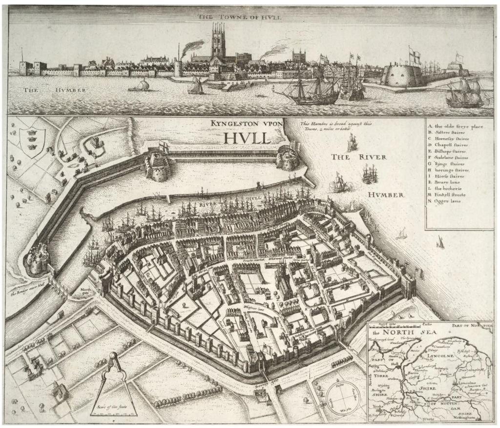
Fig. 2. Wenceslaus Hollar's map of Hull, with Drypool village in the top left of the map.